What's on The Rocket
Cruising Guide to New Caledonia?

- Requires Windows XP or Later, MacOSX 10.7 or Later.
- Works on Windows Tablets and works well with Android Tablets and Ipads remotely controling your Windows or Mac comptuer.
 See Video Tutorials
Just What You Need
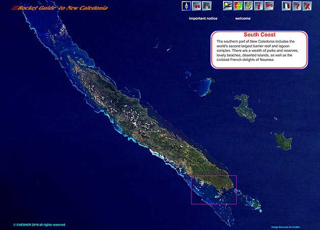
On The All New Caledonia View
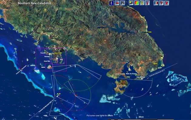
On 16 Regional Views
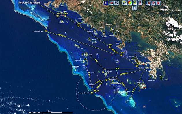
On 30 Sub Regional Views
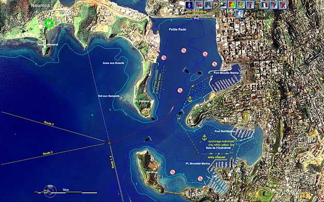
On the Noumea View
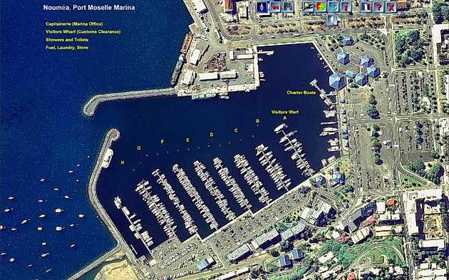
On the Marina View
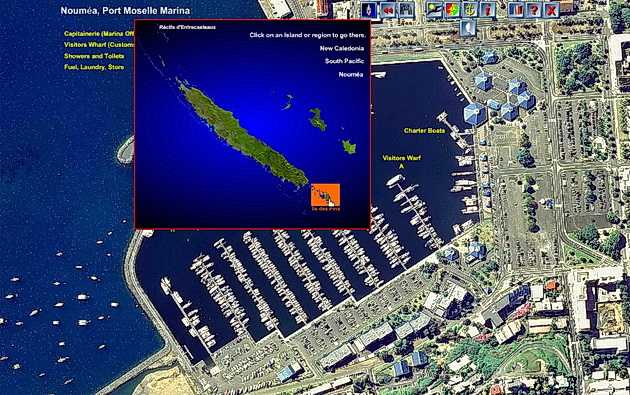
Jump to any anchorage in two clicks
Point to the Rocket Icon and a small chart of New Caledonia appears, point to the area you are planning to visit and a click will bring you to a chart of that area.
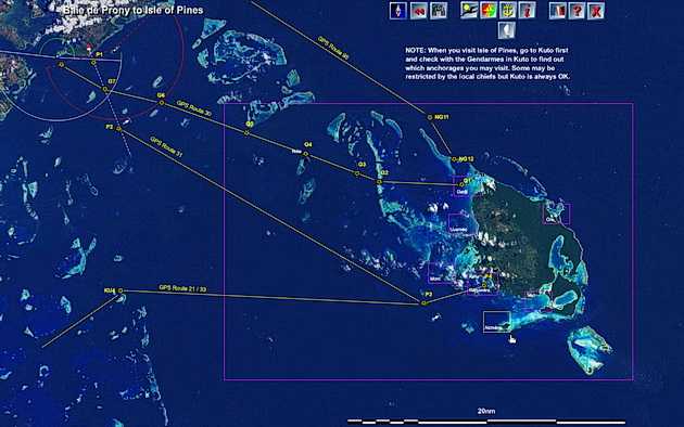
On Regional Island Views
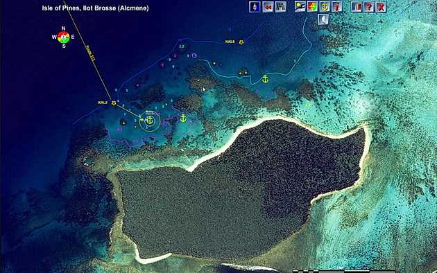
On Anchorage Sailing Direction Views
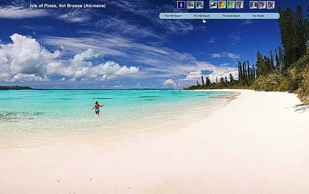
On Anchorage Information Views
Don't Miss Out

"I can't praise you highly enough for the absolutely marvelous job you have done with the cruising guide. Can't help thinking about how ALL yachts visiting New Caledonia can be convinced that your guide is an absolute MUST. If they don't have it they don't know how much they will miss out."
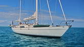
Captain Per Rold S/Y Cecilie
How do I get mine?